THE LOCATION OF ATLANTA'S TEMPORARY TERMINAL
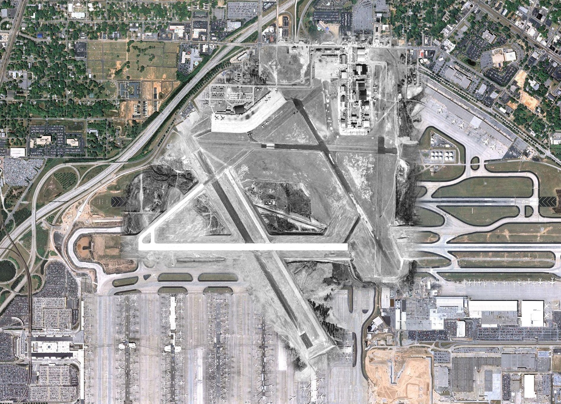
To give you an idea of where the 1948 terminal and old runways were located, this collage places an aerial photograph of Atlanta Airport taken in 1949 over a 2009 shot from Google Maps. The current terminal is at the bottom left with the concourses off to the right. I-85 is the expressway on the left and Virginia Ave. runs across the top. Click HERE for the large version.
1949 photo courtesy of the Georgia Aerial Photographs database.
1949 photo courtesy of the Georgia Aerial Photographs database.
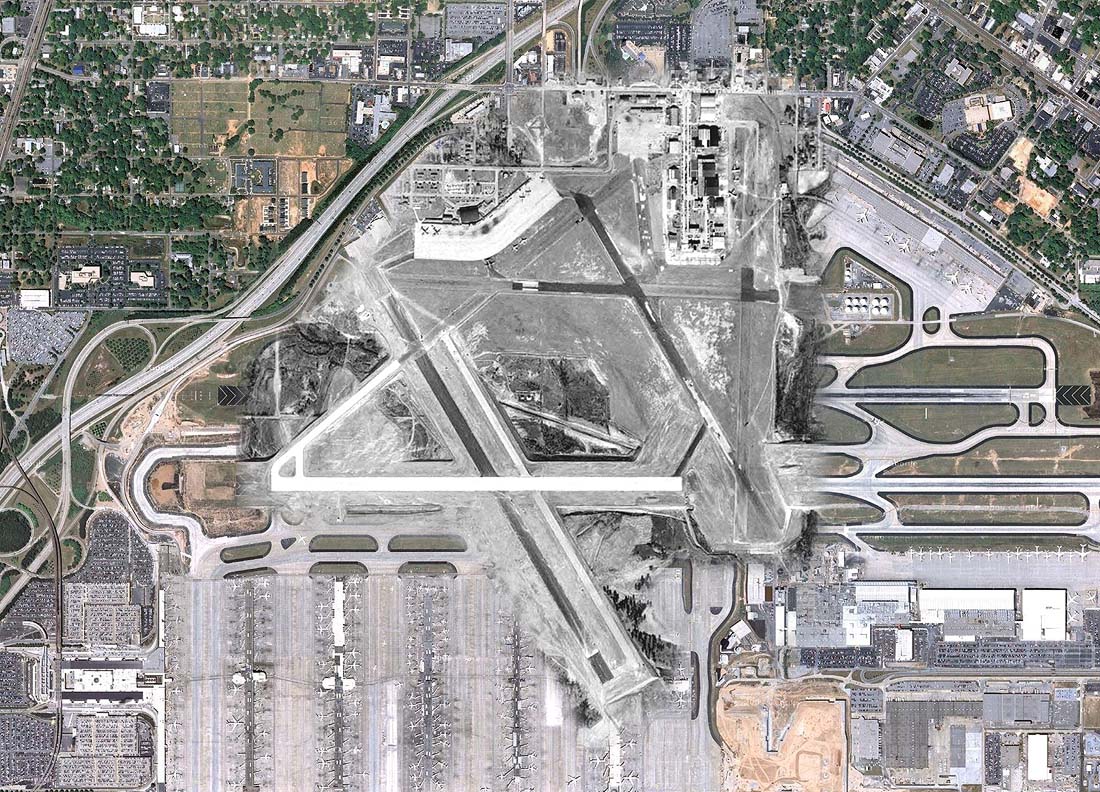
Here's a topographic map from 1954 matched up with a recent aerial photo and street map. A vague footprint of a portion of the old ramp can be discerned below the hangar in the 2014 aerial. The water tank from the 1954 map is still in place.
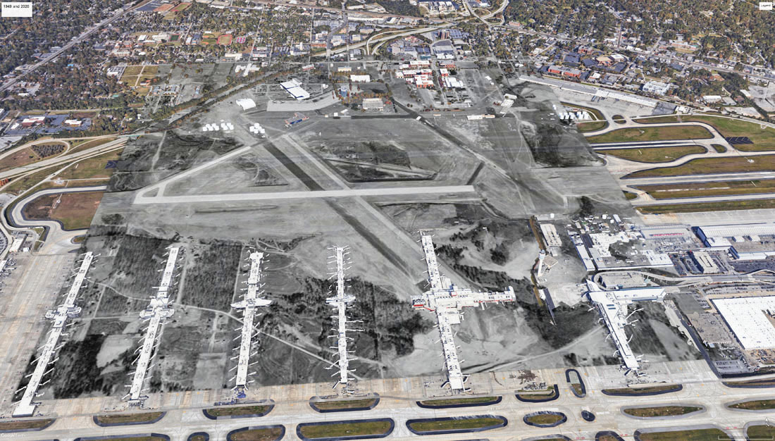
This is the 1949 aerial photo imported into Google Earth in 2020.
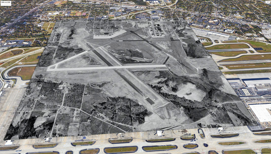
Here's the same perspective with Google's 3-D buildings added in. It's a little disorienting to see the country roads and terraced fields in between the modern day concourses.